
Precision Agriculture
Drone mapping in agriculture is transforming traditional farming practices, empowering farmers to make data-driven decisions that enhance productivity and sustainability.

Viticulture Services
We've partnered with Precision Data Technology to bring exclusive analytics and reporting services to the viticulture space. By combining our aerial data with PDT's expertise, we've created Vitimate - a comprehensive suite of vineyard services.
Embed the power of Vitimate into your vineyard operations.
Vitimate Benefits:
-
Multispectral mapping for vine health
-
Highly accurate vine count
-
Vineyard block performance benchmarks
-
Trial analysis (chemical, variety and treatment)
-
Irrigation management
-
Highly accurate vine count
-
Globally accurate vineyard maps
-
GIS suite for data aggregation
-
Compare data season by season

Construction and Infrastructure
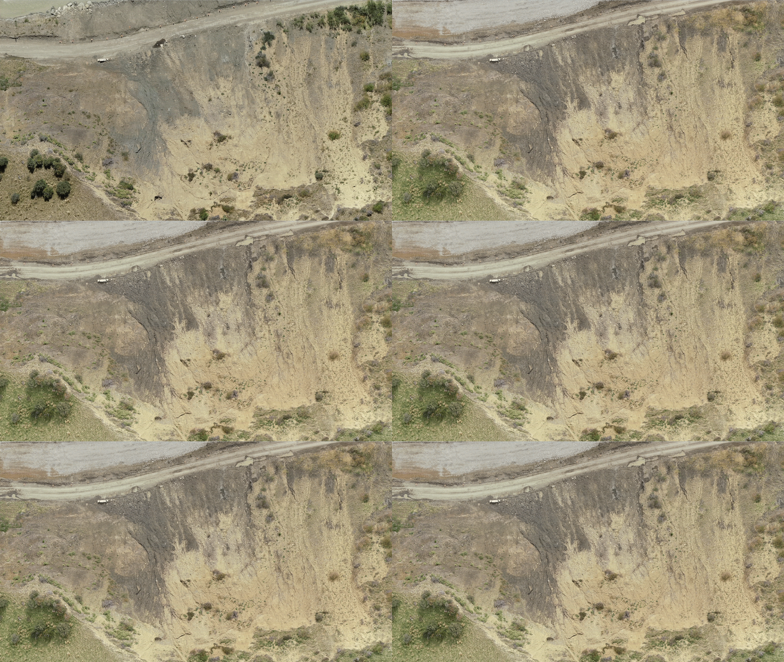
Drone mapping has changed how construction and infrastructure projects are managed in recent years. Swiftly and accurately surveying sites, monitoring progress, and tracking changes leads to greater efficiency and cost savings. With real-time data, project managers can make informed decisions, improve safety protocols, and allocate resources more effectively, resulting in successful project outcomes and continuous innovation in the industry.

Forestry
Drone mapping goes hand in hand with advanced forestry management by offering detailed aerial imagery for inventory and health monitoring. It aids in species identification, stand count and guiding sustainable harvesting and conservation efforts. With reduced manual surveying needs, it enhances worker safety in challenging terrain, promoting efficient and responsible forestry practices.

Environmental Sector
Drone Mate is a trusted ally for organisations dedicated to environmental protection. With our specialized knowledge in drone technology, we provide expert guidance on advanced data acquisition techniques for enhanced monitoring capabilities.
How can we help?
Let us know what you're after and we'll get back to you as soon as possible.


